Contact Info & Map
Grades: JK - 8
Phone:(519) 822-6192
Fax:(519) 822-0230
Ali Lupal
WCDSB Communications and Community Engagement Lead
Email: [email protected]
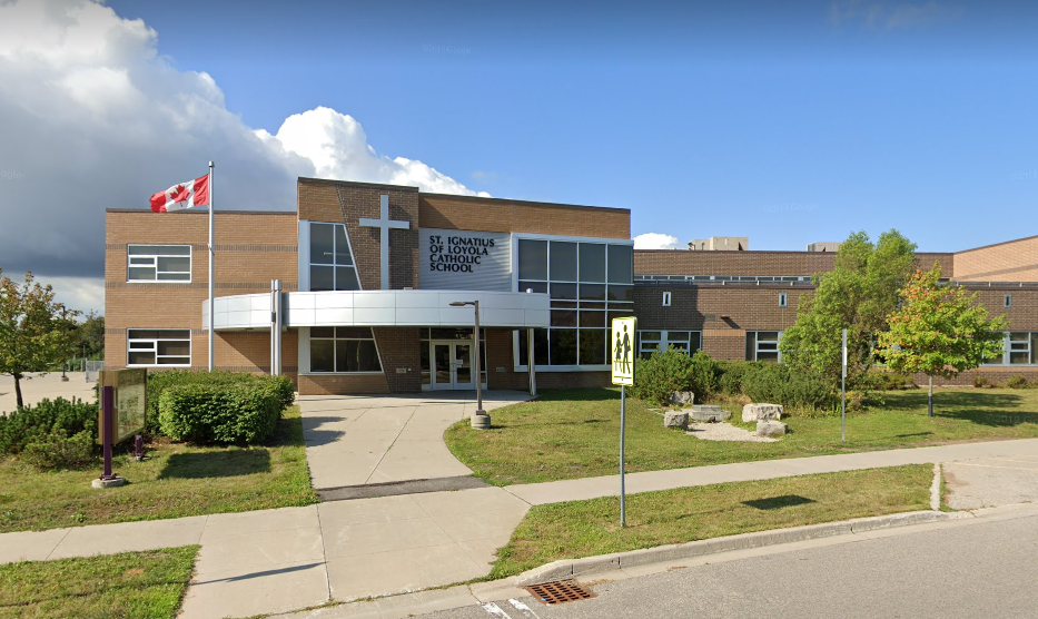
ST. IGNATIUS OF LOYOLA CATHOLIC SCHOOL
September, 2010
Area enclosed by:
Starting point: Victoria Rd. @ Eramosa River
1. Follow Eramosa River south-east to Cooks Mill Rd.
2. East on Cooks Mill Rd. to Watson Rd. Includes all of Cooks Mill Rd. (both sides). (Note: Both sides of Watson Rd. south to Eramosa River are within Sacred Heart boundary).
3. Follow Watson Rd. South to Eramosa River. Both sides of Watson south to Eramosa River are within Sacred Heart boundary.
4. East on Eramosa River to Nassagaweya-Puslinch Townline South on Nassagaweya- Puslinch Townline to Flamborough-Puslinch Townline
5. West to Victoria Rd. South.
6. North on Victoria Rd. South to Clair Rd. East (Note: both sides of Victoria Rd. south up to Clair Rd. are part of St. Paul Boundary).
7. West on Clair Rd. East (both sides) to East of McArthur Drive
8. North in green space parallel to McArthur Drive and Beaver Meadow Dr. up to and including Jensen Blvd.
9. North around St. Paul boundary area along Pineridge Dr. & Oakridge Dr. as described in St. Paul’s boundary to Lowes Rd. Oakridge, Pineridge and Elderberry are part of the St. Paul boundary.
10. West to Gordon Street (both sides of Lowes Rd.E. are within St. Paul boundary.
11. South on Gordon St. (west side) to Clair Road West
12. West on Clair Rd. West (both sides) to Hanlon Pkwy.
13. North on Hanlon Pkwy. To Hanlon Creek Conservation Area.
14. Follow south border of Hanlon Creek Conservation Area to Lowes Rd. East of Dawn Ave. (includes all of Dawn & Lowes Rds)
15. East on Lowes Rd. to Gordon St.
16. North on Gordon St. (both sides) to Arkell Rd.
17. Northeast through greenspace in jagged lines to and including 1057 Victoria Rd. South. (area west of greenspace including Kortright Road East is part of St. Michael boundary).
18. North on Victoria Rd. South (East side) to Eramosa River

Please Note:
1) Unless otherwise noted, the home school is the one on the same side of the street as the residence.
2) Boundaries are subject to change. Please verify with school or board office.